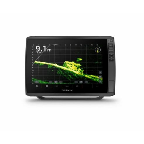
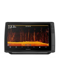
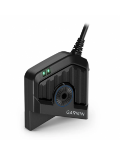
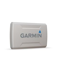
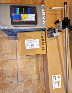
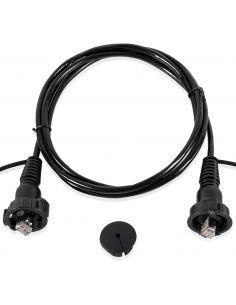
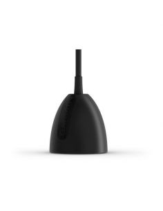
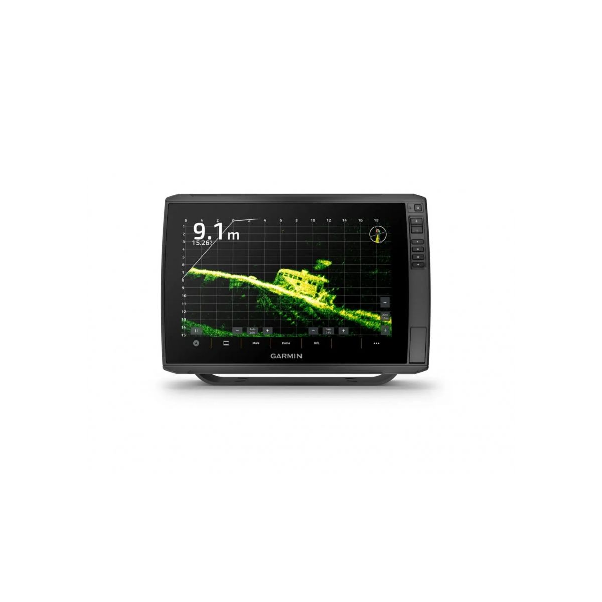
Echolotas Garmin ECHOMAP Ultra 2 122sv be GT56UHD-TM sonaro 12″ JUTIKLINIAI EKRANAI LIVESCOPE™ SONARŲ1 IR NE TIK PALAIKYMAS GARMIN NAVIONICS+™ IR GARMIN NAVIONICS VISION+™ ŽEMĖLAPIŲ PALAIKYMAS BELAIDIS SONARO, KELIO TAŠKŲ IR MARŠRUTŲ BENDRINIMAS2 EKRA KELIŲ DAŽNIO JUOSTŲ GPS GERESNIAM VIETOS NUSTATYMO TIKSLUMUI KAS PATIKS JUMS Garmin Echomap ULTRA 2 „LIVESCOPE™“ SONARO PALAIKYMAS Serija ECHOMAP Ultra 2 palaiko visą LiveScope tiesioginio skenavimo sonaro produktų asortimentą (keitikliai parduodami atskirai). Garmin Echomap ULTRA 2 INTEGRUOTAS UHD SONARAS Tam tikri modeliai komplektuojami su keitikliu GT56, kuris suteikia „Garmin“ CHIRP tradicinį sonarą ir itin didelės raiškos skenuojamuosius sonarus „ClearVü™“ bei „SideVü™“, kad būtų galima užfiksuoti nuotraukas primenančius po vandeniu esančius vaizdus. Garmin Echomap ULTRA 2 RYŠKIŲ SPALVŲ PALETĖS Kontrastingos ir ryškios skenuojamojo sonaro spalvų paletės padeda atskirti objektus ir struktūras kaip niekada lengvai. Garmin Echomap ULTRA 2 JŪRLAPIAI IR ŽEMĖLAPIAI Suteikite savo kartploteriui naują išvaizdą ir stilių, naudodamiesi pasirenkama „Garmin Navionics+™ ar „Premium“ klasės „Garmin Navionics Vision+™“ kartografija su integruotu priekrančių jūrlapių ir sausumos žemėlapių turiniu, prieiga prie kasdienių naujinių, technologija „Auto Guidance+™“ ir dar daugiau. Garmin Echomap ULTRA 2 BELAIDIS TINKLAS Jei laive turite kitą suderinamą ECHOMAP Ultra 2 arba ECHOMAP UHD2 jūrlapių braižytuvą, tarp įrenginių galite belaidžiu būdu bendrinti informaciją, pvz., sonaro3, kelio taškų ir maršrutų. Garmin Echomap ULTRA 2 Su itin didelės raiškos skenavimo sonaro sistema matykite viską. RYŠIO GALIMYBĖS DAUGIAJUOSTIS GPS Mėgaukitės didesniu padėties nustatymo tikslumu su kelių dažnio juostų GPS SUDERINAMUMAS SU „NMEA 2000®“ TINKLU Prisijunkite prie krypties jutiklių, autopilotų, „Fusion-Link™“ garso sistemų ir ne tik. PROGRAMA „ACTIVECAPTAIN®“ Susiekite su nemokama išmaniojo įrenginio programėle, kad galėtumėte atnaujinti programinę įrangą, įrašyti ekraną, gauti „Garmin Quickdraw™ Community“ duomenis ir ne tik4. VELKIAVIMO VARIKLIS „FORCE®“ Belaidžiu ryšiu prisijunkite prie velkiavimo variklio „Force“, kad galėtumėte vesti laivą į maršruto taškus, braižyti bei sekti maršrutus ir ne tik. PASIIMKITE SU SAVIMI Lengvai atjungiamas laikiklis suteikia galimybę greitai sumontuoti ir nuimti įrenginį. FIZINIAI MATMENYS 34,1 x 22,9 x 9,8 cm (13,4″ x 9″ x 3,9″) SVORIS 2,5 kg (5,5 svar.) PRALAIDUMO VANDENIUI SKALĖ IPX7 JUTIKLINIS EKRANAS Taip EKRANO TIPAS WXGA, IPS RODYMO DYDIS 26,1 x 16,3 cm; 30,7 cm skersmuo (10,3″ x 6,4″; 12,1″ skersmuo) EKRANO SKIRIAMOJI GEBA 1280 x 800 pikselių MONTAVIMO GALIMYBĖS Lankelinis arba įleidžiamasis RAKTINIAI PAGALBOS MYGTUKAI Jutiklinis ekranas su mygtukais Žemėlapiai ir atmintis GALIMA NAUDOTI DUOMENŲ KORTELES 2 „microSD“ kortelės KELIO TAŠKAI 5000 STEBĖJIMO TAŠKAI 50,000 TRASOS 50 išsaugotų trasų MARŠRUTAI 100 Jutikliai GPS Taip GLONASS Taip GALILEO Taip BEIDOU Taip INTEGRUOTAS IMTUVAS Taip IMTUVAS 10 Hz SUDERINAMA SU NMEA 2000® Taip SUDERINAMAS SU NMEA 0183 Taip PALAIKO WAAS Taip PALAIKO KELIŲ DAŽNIO JUOSTŲ, KELIŲ PALYDOVŲ GRUPIŲ GPS Taip Integruoti žemėlapiai INTEGRUOTAS „AUTO GUIDANCE+“ Taip VIDAUS VANDENŲ IR PRIEKRANČIŲ „GARMIN NAVIONICS+“ Taip (žr. Papildomą) POTVYNIŲ IR ATOSLŪGIŲ LENTELĖS Taip (žr. Papildomą) Pasirenkamas žemėlapio palaikymas BLUECHART G3 Taip BLUECHART G3 VISION Taip GARMIN NAVIONICS+™ Taip GARMIN NAVIONICS VISION+™ Taip TOPO 100K Taip STANDARTINIAI ŽEMĖLAPIAI Taip GARMIN QUICKDRAW CONTOURS Taip Kartploterio funkcijos PALAIKO AIS (STEBI NURODYTŲ LAIVŲ PADĖTĮ) Taip PALAIKO DSC (RODO PADĖTIES DUOMENIS IŠ DSC PALAIKANČIO VHF RADIJO) Taip PALAIKO SU „FUSION-LINK ™“ SUDERINAMUS RADIJO IMTUVUS Taip SUDERINAMAS SU „ACTIVECAPTAIN“ Taip BURIAVIMO FUNKCIJOS Taip Elektriniai įrenginiai MAITINIMO ĮVESTIS Nuo 9 iki 18 Vdc TIPINĖ TIEKIAMOJI SROVĖ ESANT 12 V NS 3 A MAKS. TIEKIAMOJI SROVĖ ESANT 12 V NS 3,3 A MAKS. ENERGIJOS SUVARTOJIMAS ESANT 10 V NS 24,2 W Sonaro funkcijos ir specifikacijos RODOMAS SONARAS Taip ATIDUODAMOJI GALIA 600 W ĮPRASTINIS SONARAS (DVIGUBO DAŽNIO / PLUOŠTO) Integruotas (vieno kanalo CHIRP, 70/83/200 kHz, L, M, H CHIRP) „CLEARVÜ“ Integruotas 260/455/800/1 000/1 200 kHz „SIDEVÜ“ Integruotas 260/455/800/1 000/1 200 kHz PANOPTIX™ SONAR Taip „LIVESCOPE“ Taip Kontaktai NMEA 2000® PRIEVADAI 1 „GARMIN MARINE NETWORK ™“ PRIEVADAI 2 (didelė jungtis) 12 ADATĖLIŲ KEITIKLIO PRIEVADAI 12 kontaktų skenuojamasis sonaras ANT+™ (RYŠYS) Taip GARMIN WI-FI®“ TINKLAS (VIETINIS RYŠYS Taip Garmin ECHOMAP Ultra 2 122sv & GT56UHD-TM Transducer | 010-02881-00 Maximise your time on the water with the ECHOMAP™ Ultra 2 chartplotter. Offering all the built-in tools you need to find and catch fish, this version features a 10” touchscreen with keyed assist, in-plane switching display and supports Garmin Navionics+™ maps. Plus, there’s support for the full line of LiveScope™ sonars, Ultra High-Definition ClearVü™ and SideVü™ scanning sonars, and Garmin CHIRP traditional sonar (sold separately). Features: • 12” touchscreen with keyed assist and in-plane switching display offers all the built-in tools you need to find and catch fish • Support for Garmin Navionics+™ and premium Garmin Navionics Vision+™ mapping with integrated coastal and inland lake coverage, relief shading and Auto Guidance+™ technology (for planning purposes only; does not replace safe navigation operations) • Vivid scanning sonar colour palettes make it easy to distinguish targets and structure • Built-in support for the full line of live sonar products, including the LiveScope™ System, plus Garmin CHIRP traditional sonar and ClearVü™ and SideVü™ scanning sonars (sold separately) • Both wired and wireless networking allows easy sharing of sonar, waypoints and routes with another ECHOMAP™ Ultra 2 or ECHOMAP UHD2 chartplotter on board (optional LiveScope™ sonar cannot be shared wirelessly) • Multi-band GPS technology with fast 10 Hz updates not only gives improved position accuracy, it also delivers improved signal reception, particularly in areas where signals are reflected or weak • Offers NMEA 2000® network support for autopilot, FUSION-Link™ audio system, engine data and digital switching • Wireless connectivity with Force® trolling motors offers boat control features from the chartplotter; create and follow routes, navigate to waypoints, control speed, check battery life and more • Use the screen recording feature through the ActiveCaptain® app on your compatible smartphone to capture what you see on the chartplotter so you can save and share your fish catches (including LiveScope™ sonar, if installed) • Built-in Quickdraw Contours mapping software creates personalised fishing maps on-screen with 1’ contours as you fish • Built-in Wi-Fi® connectivity pairs with the free ActiveCaptain® app on your compatible smartphone for access to the OneChart™ feature to purchase and download new charts; also receive access to daily chart updates, smart notifications, software updates, Garmin Quickdraw™ Community data and more • Quick-release mount for fast and easy mobility -------------------------- Wi-Fi is a registered trademark of the Wi-Fi Alliance. Specifications: Display Size: 26.1 x 16.3 cm; 30.7 cm diagonal (10.3″ x 6.4″; 12.1″ diagonal) Power Input: 9 to 18 Vdc Display Resolution: 1280 x 800 pixels GPS: Yes Dimension: 34.1 x 22.9 x 9.8 cm (13.4″ x 9″ x 3.9″) Receiver: 10 Hz Waterproof: IPX7 Weight: 2.5 kg (5.5 lbs) Mounting Options: Bail or flush Display Type: WXGA, IPS Maps & Navigation: Garmin Navionics+™ (Coastal): No Garmin Navionics Vision+™: Yes Accepts Data Cards: 2 microSD Cards Garmin Navionics+ Inland & Coastal: Yes (see Additional) Garmin Navionics+ (Inland): No Navigation Routes: 100 Garmin Navionics+™:Yes Features: Waypoints: 5000 Sailing features: Yes NMEA 0183 Compatible: Yes Has built-in receiver: Yes USB ports: No TOPO 100K: Yes SideVü: Built-in 260/455/800/1000/1200 kHz DSC: Yes Touchscreen: Yes LakeVü g3 Ultra: No NMEA 2000® compatible: Yes ActiveCaptain Mobile Planning Compatible: Yes Typical current draw at 12 Vdc: 3 A NMEA 2000® ports: 1 Tide tables: Yes (see Additional) GLONASS: Yes Track points: 50,000 Panoptix™ sonar: Yes Garmin Marine Network Ports: 2 (large connector) In the Box: ECHOMAP Ultra 122sv GT56UHD-TM Transducer Charging/data cable Bail Mount With Quick Release Cradle Protective sun cover Hardware Documentation